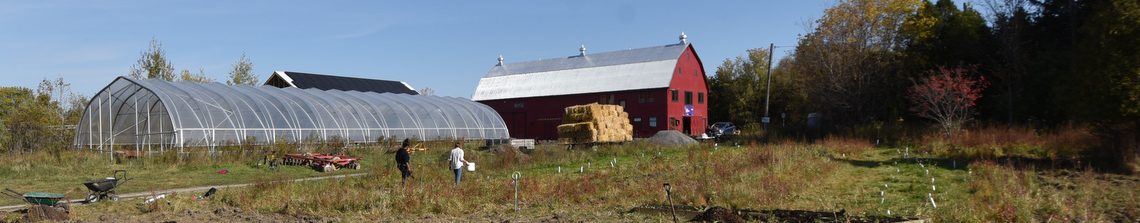
In preparation for the Communitree conference this Saturday, October 19th, 2019, we have started to assemble a map of the community food forest. While the initial version is a high-level view of the different planting zones, we plan to create some signage for self-guided tours with QR codes that will link to more detail about the trees and plants in the particular zones.
Food forests evolve over time, individual species may perish or thrive. We’ll map the zones and track the individual species over the coming years to help share the beauty and amazing capacity of nature to ‘do her thing’. As this community forest was created as a community space, a place for people to enjoy and marvel, we hope the self-guided walking tour and map can be a starting point.
